
Basic methods of navigation
Тест охватывает основные методы навигации и ключевые навигационные термины: позиционирование, определение курса, пилотаж, dead reckoning, celestial navigation, bearings, LOP, latitude/longitude, скорость (SOG/STW), ETA, variation/deviation и влияние внешних факторов (set, drift, leeway). В заданиях нужно выбирать правильные термины, аббревиатуры, предлоги, а также распознавать навигационные схемы и элементы по изображениям.
Примеры вопросов
Вот несколько примеров вопросов из этого теста. Скачайте приложение GYRO, чтобы пройти полный тест.
Вопрос 1

The actual direction in which the ship’s bow is pointed at a given moment.
Вопрос 2

Act of noticing, data collection.
Вопрос 3
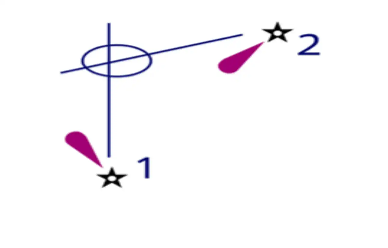
Choose the item illustrated in the picture.
Вопрос 4

Each degree of latitude or longitude is divided into _______ for more precise geographic coordinates.
Вопрос 5

In celestial navigation, the vessel's position is calculated using the angle between a celestial body and the horizon, measured with a sextant, along with the precise time recorded by a _______.