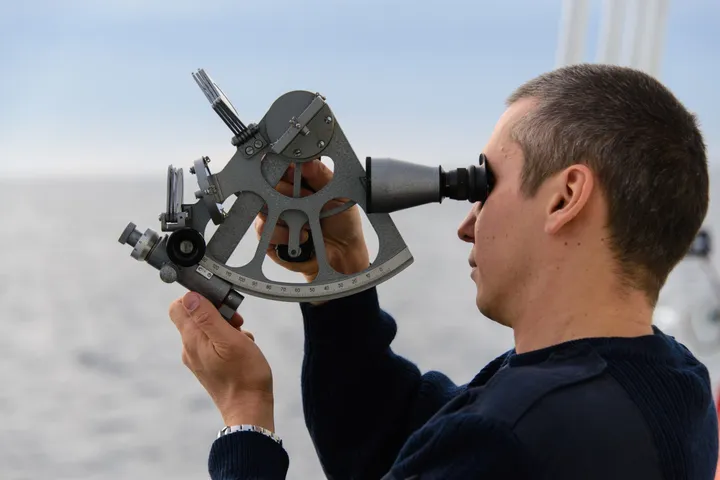
Celestial Navigation – Deck Officer Assessment
Comprehensive celestial navigation test based on practical officer-level tasks. Includes latitude by meridian altitude, GHA/LHA/SHA calculations, intercept method, azimuth & position lines, equation of time, and sextant errors. Recommended for 2/O, 3/O and exam preparation.
Приклади питань
Ось кілька прикладів питань з цього тесту. Завантажте додаток GYRO, щоб пройти повний тест.
Питання 1
A position line drawn in the direction 085°/265° could correspond to an azimuth of the observed body of:
Питання 2
A first observation of the Sun was taken at 0915 Local Time. If the vessel is steaming at 16 knots, how far should the position line be moved along the course made good to find the position at 1200?
Питання 3
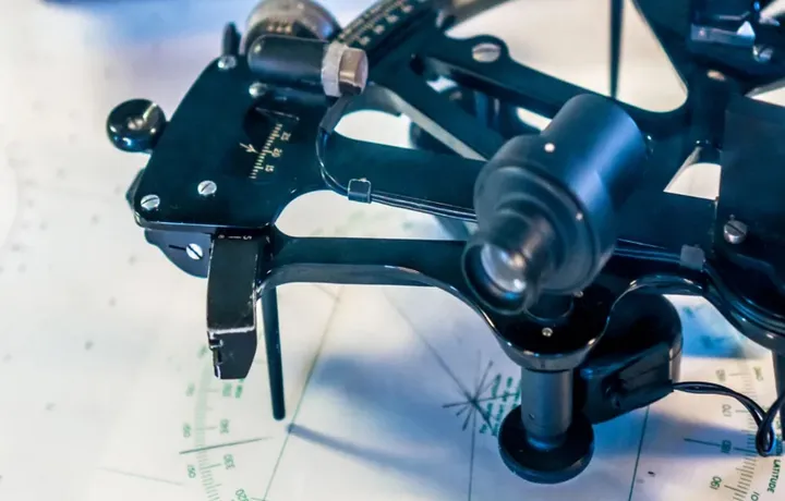
Angle between the planes of the index mirror and horizon mirror of the sextant is 20°. What is the reading on the arc?
Питання 4
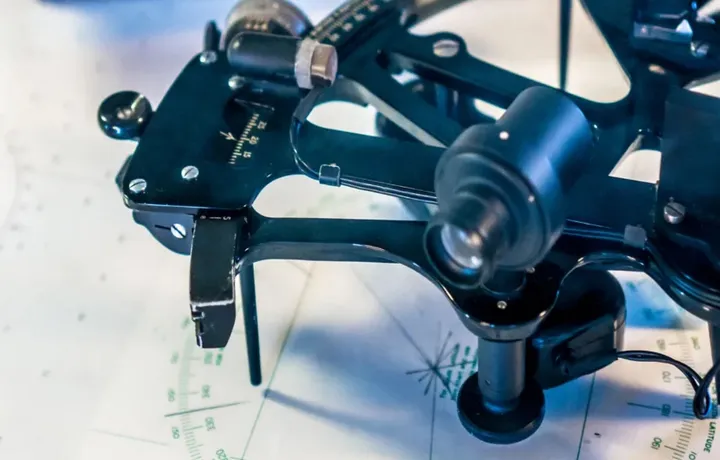
Which one of the following errors of the sextant would you attempt to remove?
Питання 5

What is the angle between the ecliptic and the equinoctial?