
DGPS / GNSS Navigation Systems
Test your knowledge of modern satellite navigation systems .This quiz covers GPS, DGPS and GNSS fundamentals, including positioning accuracy, satellite signals, common errors, RAIM, HDOP, chart datums, and safe navigation practices. Designed for cadets, deck officers and maritime professionals.
Mga Sample na Tanong
Narito ang ilang halimbawang tanong mula sa quiz na ito. I-download ang GYRO app upang kunin ang buong pagsusulit.
Tanong 1
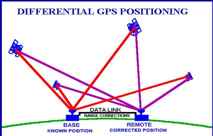
With reference to Navstar GPS system used in conjunction with a Differential Reference Station, on what is the accuracy of the resultant position mainly dependant?
Tanong 2
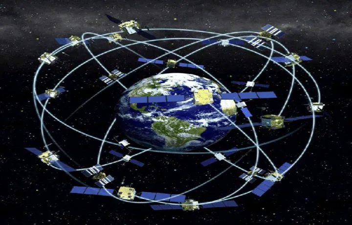
Why is Selective Availability no longer considered a significant factor in GPS accuracy?
Tanong 3
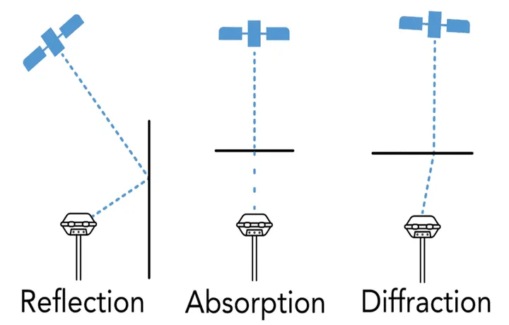
When considering GPS, what is the result of receiving multipath signals?
Tanong 4

What types of Global Navigation Satellite Systems (GNSS) receivers are used at sea for navigational purposes?
Tanong 5
In the Navstar GPS system, satellites orbit the earth in approximately: