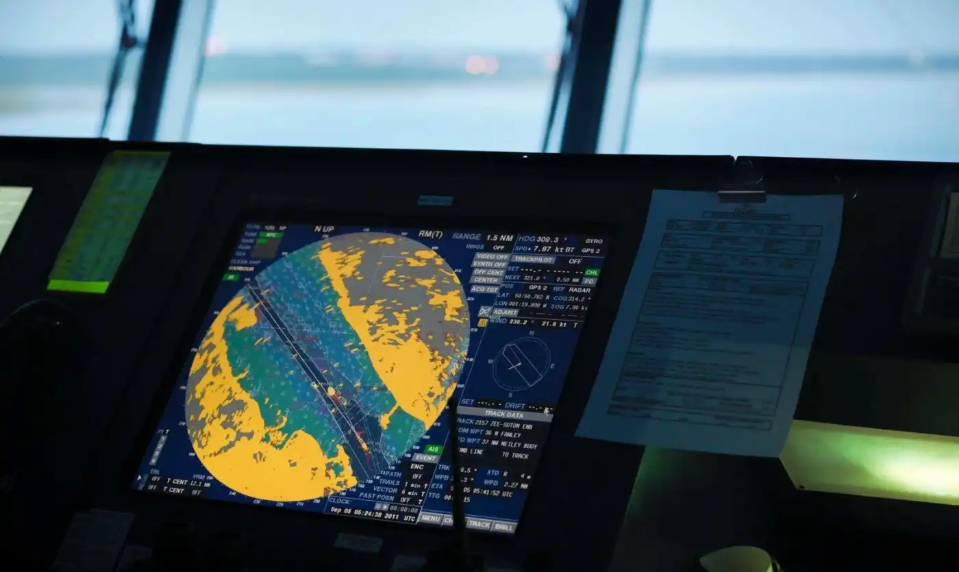
ECDIS - General Knowledge
In this test, you will assess your knowledge of ECDIS technical requirements and IMO standards, rules for operating Electronic Navigation Charts (ENCs), official Admiralty publications and their application in navigation, as well as working with system sensors and interfaces.
नमूना प्रश्न
यहाँ इस क्विज़ के कुछ उदाहरण प्रश्न हैं। पूरा टेस्ट देने के लिए GYRO ऐप डाउनलोड करें।
प्रश्न 1
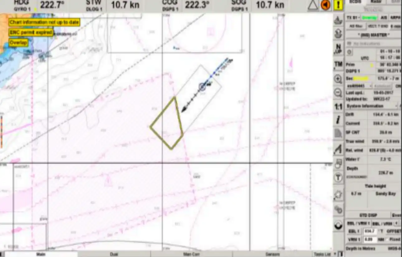
The vessel's position displayed on the electronic chart in the ECDIS is not reliable if the geodetic coordinate system of the chart and the positioning source do not match:
प्रश्न 2
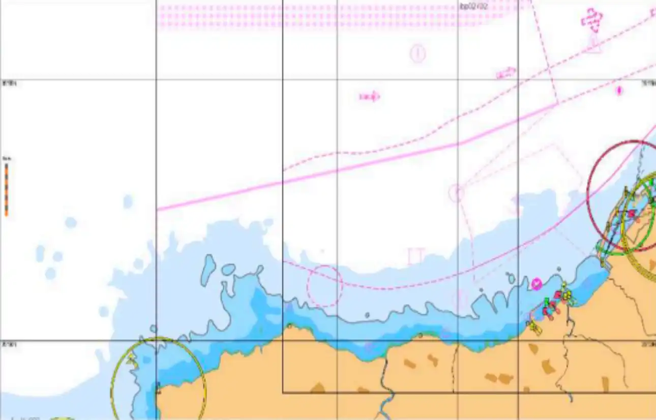
The information and data displayed upon the initial loading of the ENC is called:
प्रश्न 3
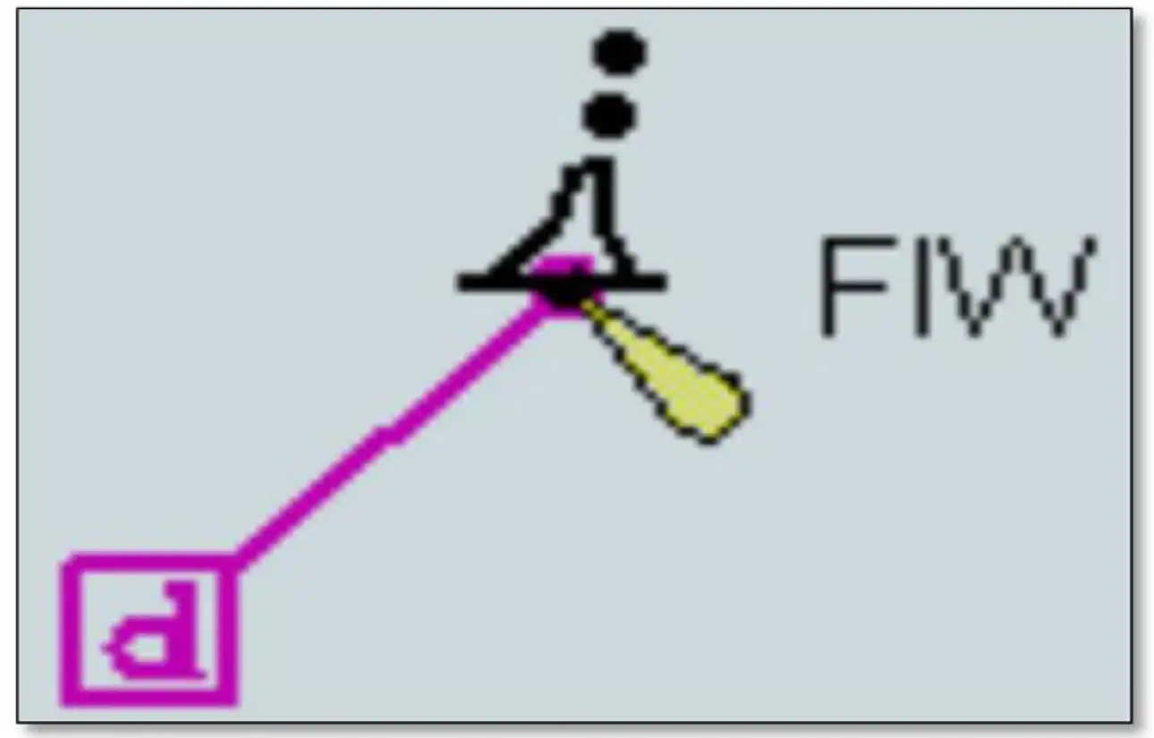
What is shown on this picture ?
प्रश्न 4
It is recommended to check manually route on smallest available ENC’s scale?
प्रश्न 5
Safety Depth and Safety Contour shall be calculated...