
Завантажити додаток
Bridge Navigation & Deck Operations

ECDIS - General Knowledge

In this test, you will assess your knowledge of ECDIS technical requirements and IMO standards, rules for operating Electronic Navigation Charts (ENCs), official Admiralty publications and their application in navigation, as well as working with system sensors and interfaces.

Питань 15
Час 9 min
Мова Англійська

Приклади питань

Ось кілька прикладів питань з цього тесту. Завантажте додаток GYRO, щоб пройти повний тест.

Питання 1
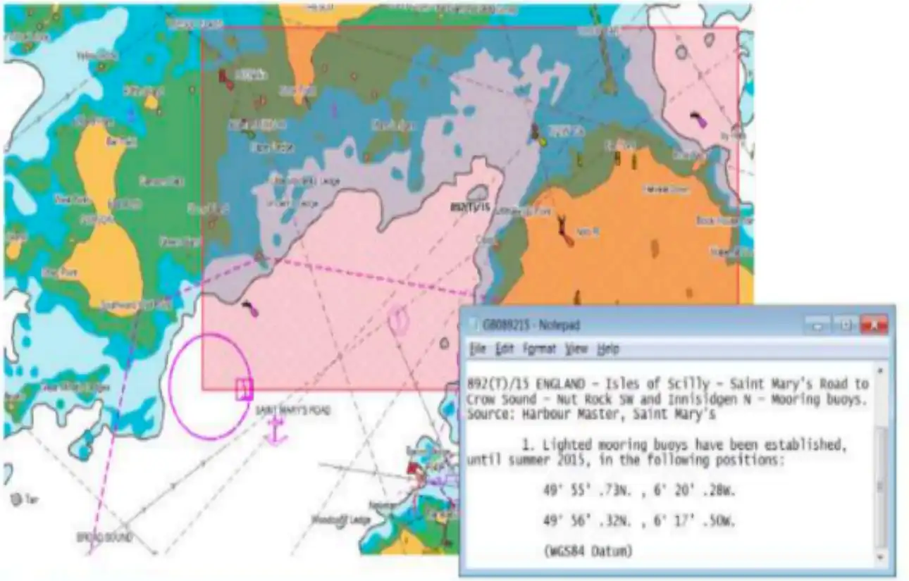
What functions does the "guard zone" (guard ring, guard zone) perform:

A Checks within the "guard zone" for navigational hazards on the chart.
B Changes the ship's course to avoid danger.
C No correct answers available.

Питання 2

If the cartographic system operates in RCDS mode, additional requirements must be considered:

A A separate application (editor) that defines lines and gives them a distinct color.
B A shift function to adjust coordinates on charts with a coordinate system different from WGS-84.
C Certification that the ECDIS is capable of operating with raster charts.
D Mandatory display of AIS targets.

Питання 3

What are the recommended XTE limit settings in this course for Coastal Sailing (<12 nm from shore)?

A 0.1 nm – 1.0 nm.
B Equal or more than Ship Breadth - 0.1 nm.
C Equal or more than Tactical Diameter - 2.0 nm.
D As per Master order.

Питання 4

In case the GPS info on the ECDIS fails but GPS works properly, which from the following action is correct?

A Switch to DR mode from sensor menu and decrease the XTL limits when you are in monitoring.
B Confirm the vessel position by using the LOP function.
C Neither of the above.
D Switch to DR mode from sensor menu and type manually the position using the ''Position offset menu - enter position function.''

Питання 5

Which of the following is the correct statement concerning the function of the export/import route file?

A The route plan which is exported from the ECDIS can be edited on a PC.
B Route data input missing value can be imported into the ECDIS.
C The route plan which is exported from the ECDIS can be edited on a PC using the proprietary software which is supplied by JRC.
D Anti-virus software is installed in the ECDIS for importing data with a USB-type memory.